|
Home -
Gallery
Geology
Music
Software
Hiking
Links
Sport
What?
Thesis Paleontology Balkan Mineralogy Harz Steno 1 10 20 30 40 50 60 70 80 90 Anh A B C D E F 81 82 83 84 85 86 87 88 89 |
Page 141 of 401
< > |
- 88 -
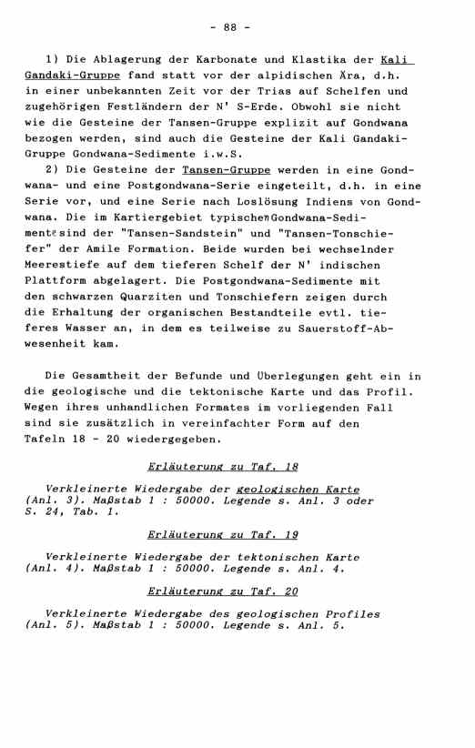
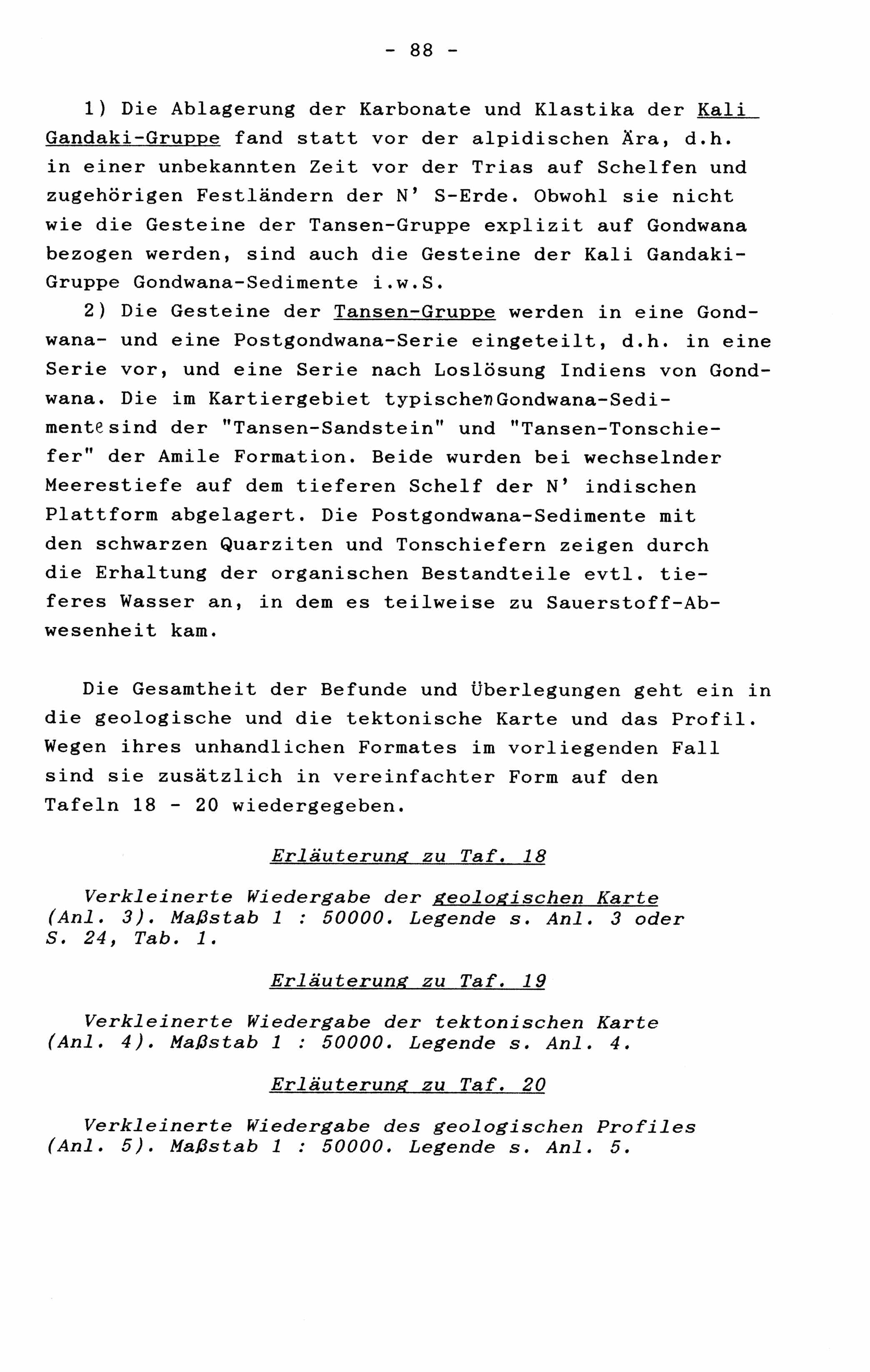
1) Die Ablagerung der Karbonate und Klastika der Kali
Gandaki-Gruppe fand statt vor der alpidischen Ära, d.h.
in einer unbekannten Zeit vor der Trias auf Schelfen und
zugehörigen Festländern der N' S-Erde. Obwohl sie nicht
wie die Gesteine der Tansen-Gruppe explizit auf Gondwana
bezogen werden, sind auch die Gesteine der Kali_Gandaki-
Gruppe Gondwana-Sedimente i.w.S.
2) Die Gesteine der Tansen-Gruppe werden in eine Gond-
wana- und eine Postgondwana-Serie eingeteilt, d.h. in eine
Serie vor, und eine Serie nach Loslösung Indiens von Gond-
wana. Die im Kartiergebiet typischen Gondwana-Sedi-
mente sind der "Tansen-Sandstein" und "Tansen-Tonschie-
fer" der Amile Formation. Beide wurden bei wechselnder
Meerestiefe auf dem tieferen Schelf der N' indischen
Plattform abgelagert. Die Postgondwana-Sedimente mit
den schwarzen Quarziten und Tonschiefern zeigen durch
die Erhaltung der organischen Bestandteile evtl. tie-
feres Wasser an, in dem es teilweise zu Sauerstoff-Ab-
wesenheit kam.
Die Gesamtheit der Befunde und Überlegungen geht ein in
die geologische und die tektonische Karte und das Profil.
Wegen ihres unhandlichen Formates im vorliegenden Fall
sind sie zusätzlich in vereinfachter Form auf den
Tafeln 18 - 20 wiedergegeben.
Erläuterung zu Taf. 18
Verkleinerte Wiedergabe der geologischen Karte
(Anl. 3). Maßstab 1 : 50000. Legende s. Anl. 3 oder
S. 24, Tab. 1.
Erläuterung zu Taf. 19
Verkleinerte Wiedergabe der tektonischen Karte
(Anl. 4). Maßstab 1 : 50000. Legende s. Anl. 4.
Erläuterung zu Taf. 20
Verkleinerte Wiedergabe des geologischen Profiles
(Anl. 5). Maßstab 1 : 50000. Legende s. Anl. 5.
                             - 88 -

    1) The deposition of the carbonates and clastic rocks of
 the Kali Gandaki Supergroup took place before the Alpidic
 Aera, that means an unknown distance of time before the
 Trias, on shelfs and the belonging to mainlands of the South
 Earth. Although the rocks of the Kali Gandaki Supergroup are
 not explicitely named after Gondwana, like the rocks of the
 Tansen Group, they are in fact sediments of Gondwana in a
 boarder sense.
    2) The rocks of the Tansen Group are classified in a
 Gondwana Series and a Postgondwana Series, that means before,
 resp. after the scaling off of India from Gondwana. The
 typical Gondwana sediments in the mapping area are the
 "Tansen Sandstone" (tss) and the "Tansen Shale" (tsh) of the
 Amile Formation. They both were deposed on the deeper shelf
 of the northern Indian platform, with changing depth. The
 Postgondwana sediments (Bhainskati Formation) with the black
 quarzites and black shales indicate by their conservation of
 organic matter perhaps deeper water, in which oxygen-absens
 appeared.
    The totality of the reports and ideas is represented in
 the geological map, the tectonical map and the geological
 profile. Because of their bulky format in the present case
 (enclosure III - IV), they are additionally shown in
 simplified versions on plates 18 - 20.

                 Explanation of plate 18

    Reduced reproduction of the geological map (enclosure 3).
 Scale 1 : 50000. Legend see enclosure 3 or table 1, p. 24.

                 Explanation of plate 19

    Reduced reproduction of the tectonical map (enclosure 4).
 Scale 1 : 50000. Legend see enclosure 4.

                 Explanation of plate 20

    Reduced reproduction of the geological profile
 (enclosure 5). Scale 1 : 50000. Legend see enclosure 5.
|
.