- 8 -
- 8 -
1.1) L a g e u n d G r o ß g l i e d e r u n g
d e s H i m a l a y a
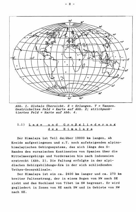
Der Himalaya ist Teil des über 10000 km langen, ab
Kreide aufgestiegenen und z.T. noch aufsteigenden alpino-
himalayischen Gebirgssystems, das sich längs des S-
Randes des eurasischen Kontinentes von Spanien über die
Mittelmeergebirge und Vorderasien bis nach Indonesien
erstreckt (Abb. 2). Die Faltung erfolgte in der alpi-
dischen Gebirgsbildungs-Ära in der sich schließenden
Tethys-Geosynklinale.
Der Himalaya ist ein ca. 2400 km langer und ca. 270 km
breiter Faltenstrang, der in einem Bogen von NW nach SE
zieht und das Hochland von Tibet im SW begrenzt. Er wird
gegliedert in Zonen von NE nach SW und in Gebiete von NW
nach SE.
    1.1)          P o s i t i o n   a n d
        g e n e r a l   c l a s s i f i c a t i o n
               o f   t h e   H i m a l a y a

    The Himalaya is a part of the more than 10000 km long,
 since Cretaceous uplifted mountain system, which extends
 along the southern rim of the Eurasian continent from
 Gibraltar over the Mediterranean mountains and the Near
 East to Indonesia (see figure 2). The folding happened
 during the Alpidic orogeny in the closing Tethys
 geosyncline.
    The Himalaya is an about 2400 km long and about 270 km
 wide fold area, which goes in a bow from NW to SE, and
 which lays in front of the Tibetan plateau. It is
 classified in regiones from NW to SE and in zones from NE
 to SW.
|